Religious people united in restoration the planet
- Please help to spread the information about this projekt from the University of Switzerland.
Are you planning or managing an ecosystem restoration project with your church, temple, mosque? - You can get help from this platform with the best satellite views and scientivic data about the best trees for this environment and climate.
- We are working with restoration projects, communities, scientists, and environmental organizations around the world to support the UN Decade on Ecosystem Restoration.
- https://restor.eco/
Mapping sacred sites
Mapping sacred sites and places of worship on Open Street Map and Google Maps. Here you can learn, how to do it.
Humanitarian Open Street Map
- HOT is an international team dedicated to humanitarian action and community development through open mapping.
- Videos about how you can edit this maps can be found on You Tube.
Google Maps
More interesting maps for you
United Nations Mapping Projects
- Different mapping projects from UN organizations
- UN Open GIS Initiative
- Mapping for a sustainable world
- UN Mappers
Union of international Associations UIA
- UIA is a non-profit, independent research institute, a repository for current and historical information on the work of more than 74.000 international associations and the work of international Nongovernmental NGOs Organizations and Intergovernmental Organizations
https://uia.org
Peace Poles worldwide
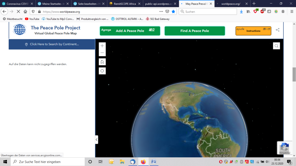
- There are more than 250.000 peace poles around the world.
- People can edit this map and put the own one on it.
Peace Map

- KAICIID’s Peace Mapping Project is an interactive, online, crowd-sourced database
- It documents the numerous actions of those people who seek to bridge differences through interreligious dialogue through the work of several hundred organisations that are committed to interreligious dialogue:
Missing Map
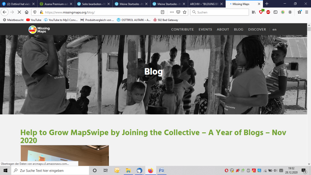
- To map the most vulnerable places in the developing world, in order that international and local NGOs and individuals can use the maps and data to better respond to crises affecting the areas.
- https://www.missingmaps.org
Resource Watch Map
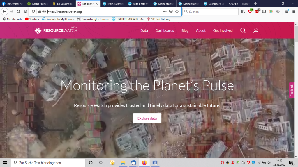
- Resource Watch features hundreds of data sets all in one place on the state of the planet’s resources and citizens. Users can visualize challenges facing people and the planet, from climate change to poverty, water risk to state instability, air pollution to human migration, and more.
Mapping for Good – Karte von Morgen

- Our map invites you to explore forward-thinking projects, companies and soon to come events in your area
- Together, we want to show and embrace the positive change in our society.
- https://kartevonmorgen.org/
Let’s create a world for tomorrow.
Healthsites

- When a natural disaster or disease outbreak occurs there is a rush to establish accurate health care location data that can be used to support people on the ground. As a result valuable time is wasted establishing accurate and accessible baseline data.
- Healthsites.io establishes this data and the tools necessary to upload, manage and make the data easily accessible. https://www.healthsites.io/
NGO Aid Map

- InterAction’s NGO Aid Map aims to increase the amount of publicly available data on international development and humanitarian response by providing detailed project information through interactive maps and data visualizations. We believe that NGO Aid Map gives a picture of international aid that would not exist otherwise.
- https://ngoaidmap.org
Insight / Impact Data
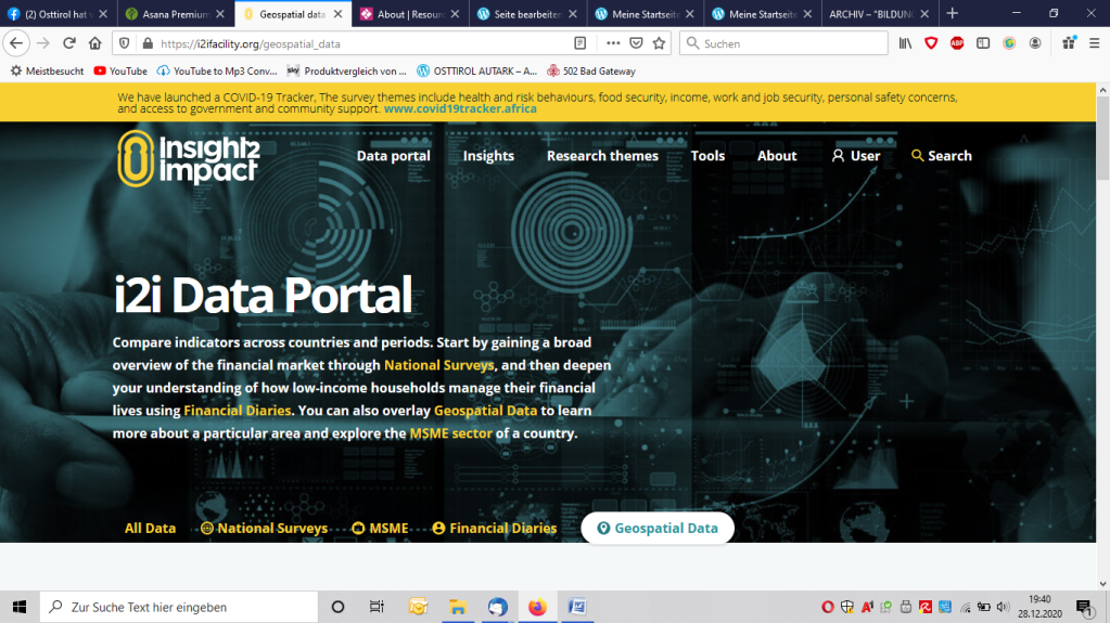
- “Geospatial” indicates that the data has a geographic component to it. . GIS data is a powerful tool that gives a user the ability to view data at a country/jurisdiction level.
NGO Projects from Austrian Organisations

- 35 Organisations show the fields of their work
- in 120 countries
- to reach a good life for all
- http://ngoprojects.globaleverantwortung.at/


You must be logged in to post a comment.